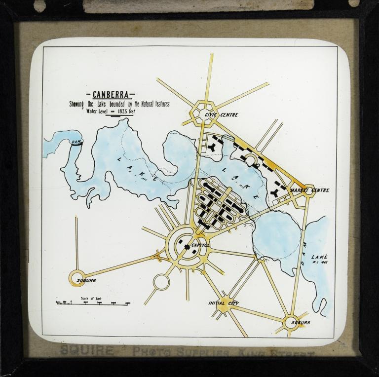
Lake bounded by natural features
Title:
Lake bounded by natural features
NFSA ID
1585347
Year
1916
This slide shows a plan of what the lake would look like if it were built following the natural contours of the land, rather than undertaking excavation and infill to create a more formal lake.
Walter Burley Griffin's design for the lake, as per his Preliminary Plan, is shown by dotted lines on this map.
The water level for the West and Central Basin is shown as being 1,825 feet whereas the level for the Eastern Lake is 1,845 feet.
The National Film and Sound Archive of Australia acknowledges Australia’s Aboriginal and Torres Strait Islander peoples as the Traditional Custodians of the land on which we work and live and gives respect to their Elders both past and present.


